Introduction
In the AEC world, precision and accuracy are paramount. To achieve optimal results, professionals constantly seek innovative tools that can streamline their workflows and enhance their design processes. One such tool that has revolutionized the industry is the integration of aerial maps with BricsCAD, a powerful CAD software. In this blog post, we will delve into the benefits and applications of using aerial maps in conjunction with BricsCAD, and how this combination can significantly boost design efficiency.
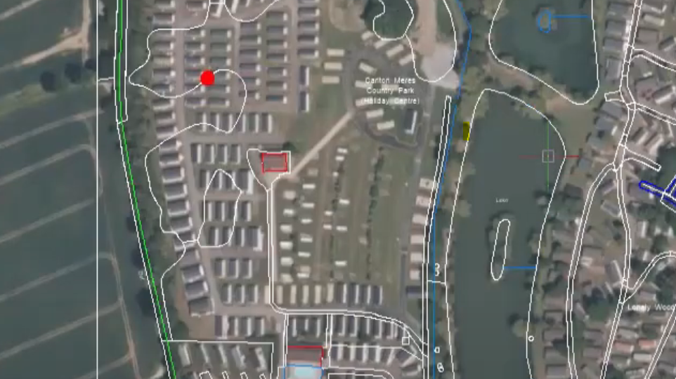
Aerial Maps: A Bird’s-Eye View
Aerial maps provide a high-resolution, top-down view of an area. These maps are captured using aerial photography, satellite imagery, or drone technology. By integrating aerial maps into the design process, professionals gain access to valuable information about the site, including topography, existing infrastructure, vegetation, and neighbouring structures. This comprehensive overview facilitates accurate decision-making, minimising potential errors and design conflicts.
Seamless Integration with BricsCAD
BricsCAD offers a robust platform for creating, editing, and visualising complex designs. Its compatibility with aerial maps allows designers to import the geo-referenced maps directly into their projects. This integration enables users to overlay the maps onto their design canvas, aligning them accurately with the project site. The seamless integration between BricsCAD and aerial maps bridges the gap between the digital design environment and the real world, providing designers with a dynamic reference for their projects.
Improved Design Accuracy and Precision
By utilising aerial maps in BricsCAD, designers can achieve a higher level of accuracy and precision in their work. The maps serve as a reliable backdrop against which designers can create their plans, ensuring that their designs are aligned with the real-world context. Whether it’s urban planning, infrastructure development, or architectural design, having an accurate representation of the site significantly reduces errors, rework, and unexpected design clashes, resulting in more efficient and cost-effective projects.
Enhanced Visualisation and Communication
Aerial maps combined with BricsCAD offer designers a powerful visualisation tool. By superimposing the maps onto their designs, professionals can visualise the project in its real-world context. This aids in better understanding the relationship between the proposed design and its surroundings, improving communication with clients, stakeholders, and project teams. The ability to present a comprehensive visual representation of the design increases transparency and facilitates effective decision-making throughout the project lifecycle.
Streamlined Workflow and Time Savings
Integrating aerial maps with BricsCAD optimizes the design workflow, resulting in significant time savings. Designers can quickly import aerial maps into their projects and utilise them as a reference throughout the design process. The elimination of manual site surveys or extensive data collection allows professionals to focus on the creative aspects of their work. Consequently, designers can efficiently iterate on their designs, meet project deadlines, and allocate more time to solving complex design challenges.
Conclusion
The amalgamation of aerial maps with BricsCAD opens up a world of possibilities for design professionals. The ability to overlay high-resolution maps onto the design canvas provides an accurate representation of the real-world context, enhancing design accuracy, visualisation, and communication. By leveraging this powerful combination, AEC professionals can streamline their workflows, save time, and produce innovative designs that seamlessly integrate with the surrounding environment. As technology continues to advance, the integration of aerial maps with CAD software like BricsCAD will undoubtedly play a pivotal role in shaping the future of design.
See our tutorial ‘How to Overlay an Aerial Map onto a Site Plan using Coordinates in BricsCAD’ here.